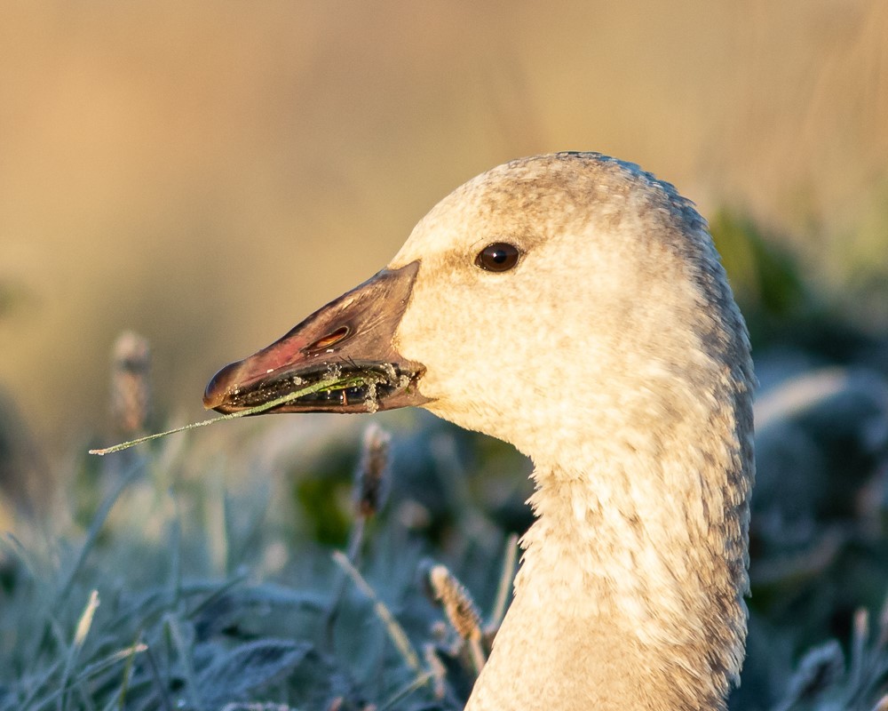
Wildlife and People Depend on Healthy Estuaries
The Pacific Birds team in British Columbia (BC) is pleased to announce that we have published an updated version of the Pacific Estuary Conservation Program (PECP) Estuary Ranking Report, a tool that can be used to guide conservation actions.
Estuaries in BC are widely recognized as highly productive ecosystems. While comprising only less than 3% of the province’s coastline, they are important to a wide variety of species, including an estimated 80% of all waterbirds and other coastal wildlife. Estuaries also provide important "ecological goods and services" such as water filtration, detritus breakdown and nutrient recycling. However, estuaries are also threatened by a large number of anthropogenic influences, including habitat loss and alteration, conversion to agriculture (through diking), freshwater diversion, pollution, and invasive species.
What is PECP and the Ranking Report?
The PECP is a Pacific Birds program that aims to coordinate efforts to secure and enhance estuary habitats with high ecological value along the coast. Partners include Environment and Climate Change Canada, Ducks Unlimited Canada, BC Ministry of Forests, Lands, Natural Resource Operations and Rural Development, BC Ministry of Environment and Climate Change Strategy, the Habitat Conservation Trust Foundation, the Nature Conservancy of Canada and The Nature Trust of British Columbia. Data from the BC Coastal Waterbird Survey of Birds Canada significantly contributed to the report. The goal is to provide an objective, BC-wide assessment of estuary occurrence and ecological importance to waterbirds. The first report was published in 2007.
In this 2019 update, estuaries across the BC coast were identified, mapped, and ranked using GIS tools and standardized criteria. The ranking process was improved from earlier versions by updating or introducing new variables, including estuary size, species rarity, waterbird density, herring spawn, and fish escapement. The end product is a spatially explicit regional overview and prioritization of estuaries for conservation action.
Key Findings
436 estuaries in BC were identified, mapped, and ranked from Class 1 (most important) to 5 (least important). Estuaries in Classes 1, 2, and 3 tend to be large in area with significant intertidal deltas or adjacent saltmarshes and abundant intertidal vegetation and mussels. While many lower-ranked estuaries were small, they also lacked data and therefore may still have considerable ecological value which could be clarified as new data become available.
315 estuaries (72%) were ranked in the top three Importance Classes. These were dispersed throughout the coast. Northern and Central Mainland has the most Class 1-3 estuaries (42%) and 59% of the total land area. Northern and Western Vancouver Island has the next highest percentage of Class 1-3 estuaries (31%), but only 12% of the land area, and therefore has the highest density of Class 1-3 estuaries.

© Barry Troutman
The Fraser River Estuary
The largest Class 1 estuary by far is the Fraser River Estuary. At 21,696 hectares, it contains 36% of all the estuarine area in BC. The Fraser River Delta is a Ramsar Wetland of International Importance, an Important Bird Area (IBA), and a Key Biodiversity Area. Unfortunately, this estuary is also one of the most threatened and modified estuaries in BC, due to factors such as loss of intertidal habitat to development, diking and conversion from natural estuary habitat to intense agriculture and pollution. In fact, the Fraser River Estuary is the only IBA in Canada designated as “in danger” by BirdLife International.
How can the rankings be used?
Pacific Birds project partners and other entities can use the ranking report and data in multiple ways. It will help practitioners evaluate and compare habitat securement, restoration, or stewardship opportunities at the level of the entire provincial coastline. It will also contribute to the preparation for environmental emergencies such as oil spills, including prioritizing areas for first response in case of significant events.
PECP will also provide context for impact assessment associated with large development projects. For example, it can help determine project impacts on wetlands and wetland functions and/or offset plans.
