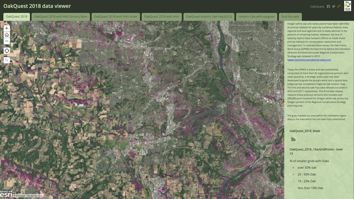
In June 2018, the Intertwine Alliance published a plan that will guide oak and prairie conservation in the greater Portland-Vancouver area for the next decade. The Oak and Prairie Working Group (OPWG), a subset of the Alliance, focused on bringing together the best science and the most effective tools into a strategic plan to conserve part of Oregon’s dwindling white oak and native prairie habitats.
One element of the plan, building upon and improving spatial data, addresses the question “Where are the Oaks?” More than five years ago, the OPWG recognized the need to know more about where the oaks were in order to do more effective conservation. This led to a multi-partner effort that utilized community volunteers to pinpoint the location of remaining oak pockets and even individual trees. After several iterations, Oak Quest 2018 now shows 290,000 point locations where oaks are present in a viewer-friendly data base. The strategic action plan spells out the value of the mapped data and recommends next steps.
On a regional scale, this new strategic action plan aligns with and will help implement strategies outlined in the Prairie, Oaks, and People business plan, and aligns with the Intertwine Alliance’s Regional Conservation Strategy for the Greater Portland-Vancouver Region. It is a good example of how local partners can address the conservation needs right out their door, while contributing to regional conservation efforts.

