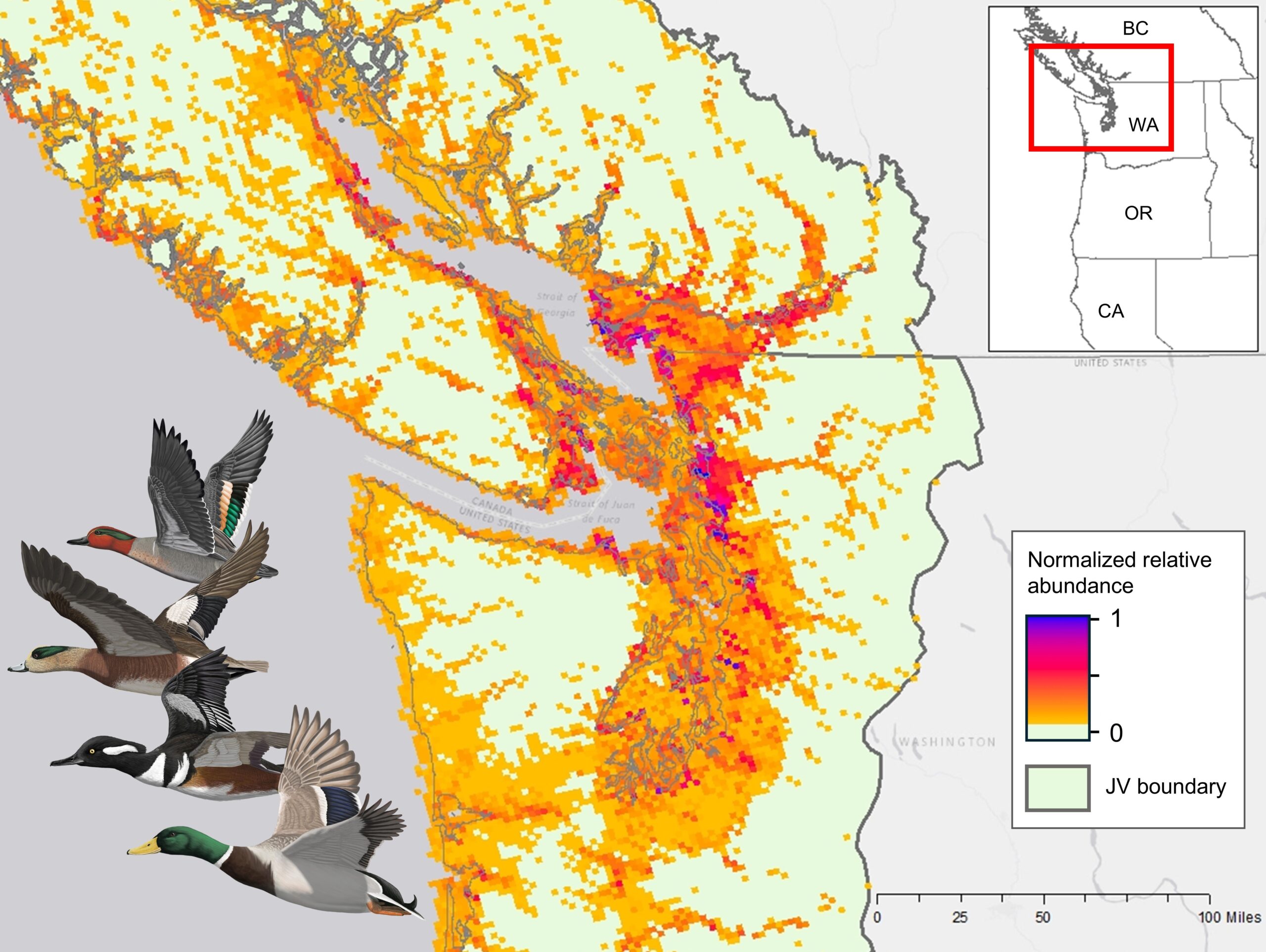
Explore and download multispecies wetland bird maps for the Pacific Birds Habitat Joint Venture region

Description
This online tool offers ready access to multispecies wetland bird data and maps for coastal birds across the Pacific Birds Habitat Joint Venture region.
Use the eBird Dashboard to:
- Explore all wetland associated birds or various coastal bird groups of interest
- Explore different multispecies wetland bird metrics, including species richness, relative abundance, or percentage of modeled global populations
- Explore maps across the full annual cycle or by seasons, including breeding, postbreeding (fall migration), nonbreeding, and prebreeding (spring migration)
The interactive application visualizes summarized data from eBird Status models and is designed to support science-based conservation decision-making within the Pacific Birds Habitat Joint Venture region.
These maps represent predicted values rather than direct observations. Predictions are derived from eBird citizen science records that have been filtered, reviewed, and integrated with environmental covariates to estimate species occurrence and abundance at a spatial resolution of 3x3 km. While the eBird Status modeling framework accounts for variation in survey effort and detectability, results may still reflect spatial biases, resolution constraints, and uncertainty – particularly in areas with limited underlying data.
For more information on background, methods, and related scientific literature, download the dashboard report below.